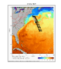
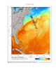
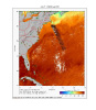
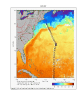
Click on a Thumbnail to Enlarge
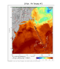
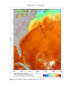
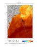
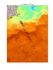
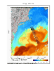
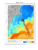
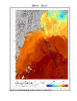
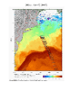
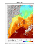
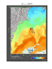
SST imagery provided by The Johns Hopkins University Applied Physics Laboratory
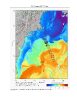
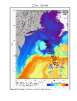
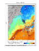
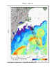
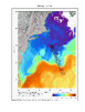
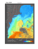
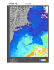
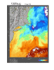
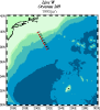
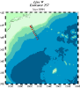
SSH maps generated from merged absolute dynamic topography (MADT) available from AVISO
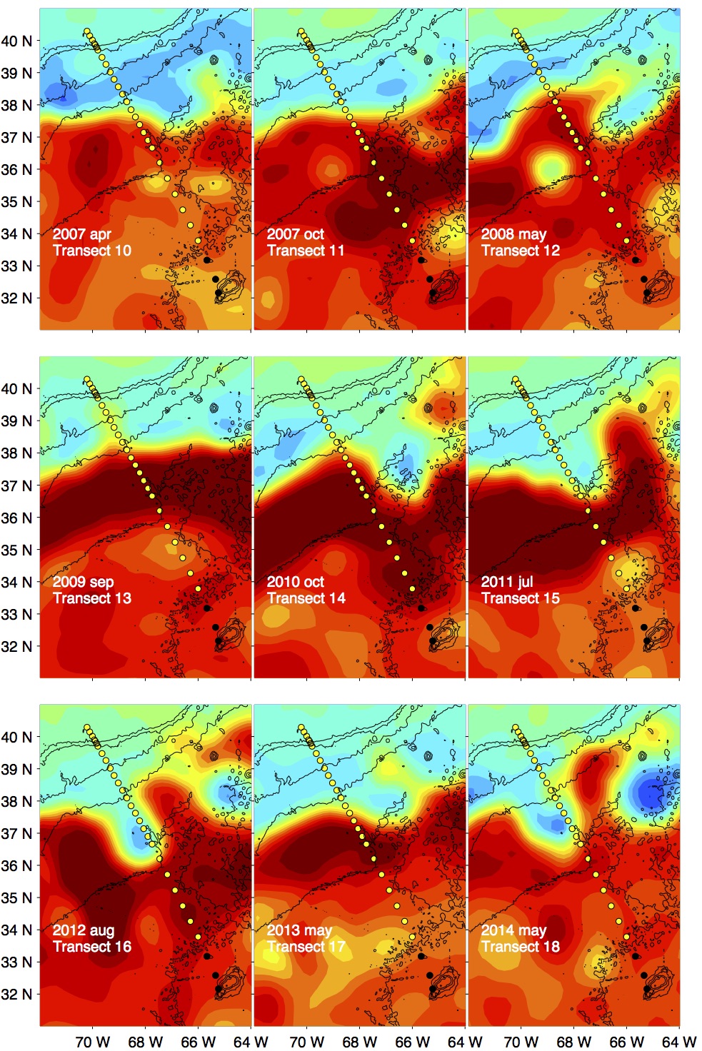
2014 may
2013 may
2012 aug
2012 mar
2011jul
2010oct
2009sep
2008may
2007oct
2007apr
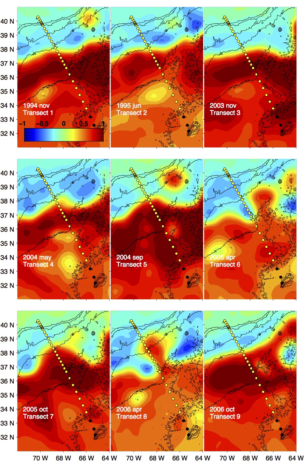
2006oct
2006apr
2005oct
2005apr
2004sep
2004may
2003nov
2002oct
2001oct
1997dec
1997feb
1996aug
1996may
1995dec
1995jun
1994nov
SSH (1994 - 2006)
SSH (2007 - 2014)