| Overview | |
| Science | |
| Data | |
| |
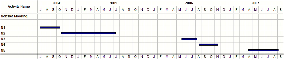
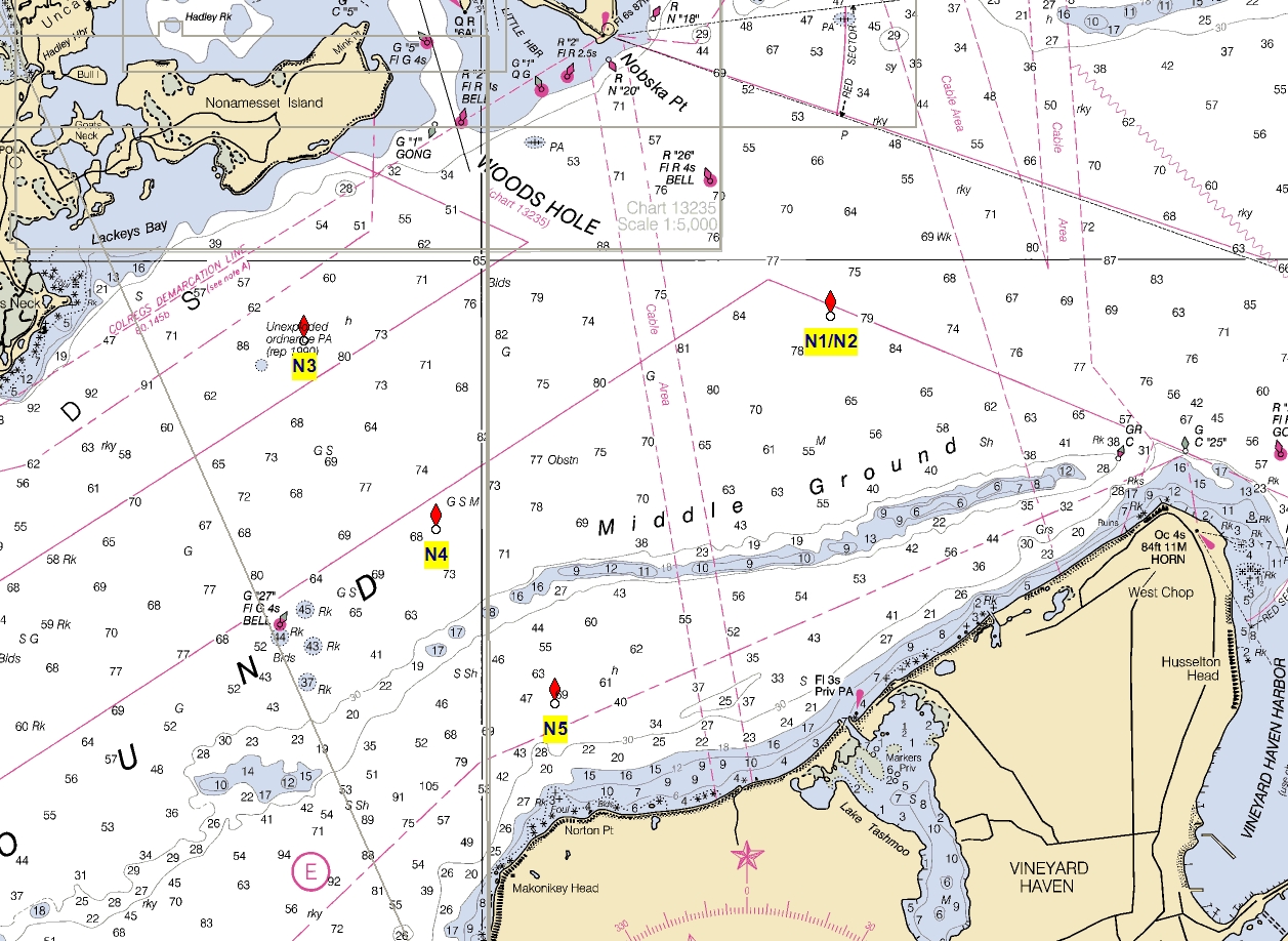
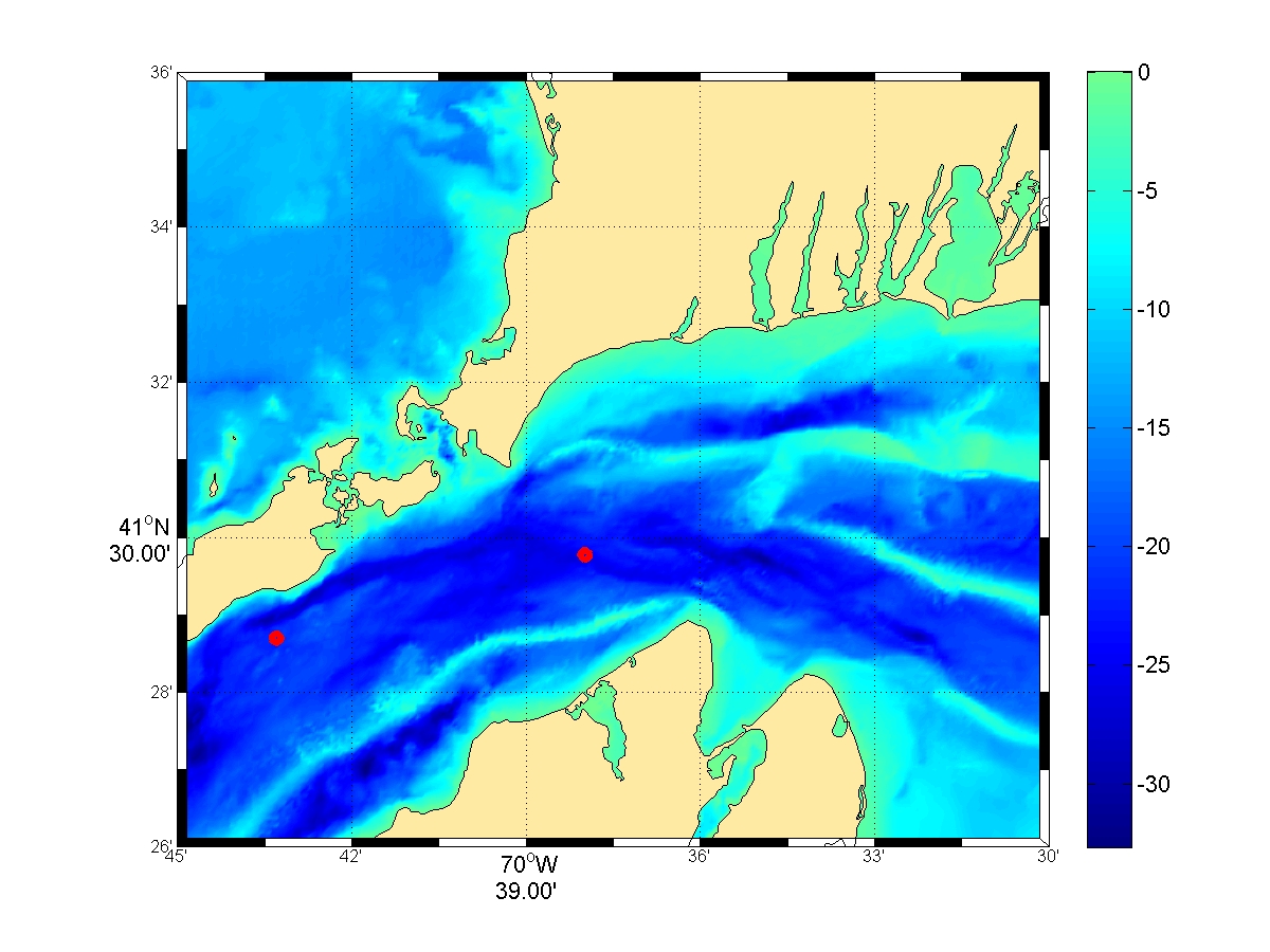 | Nobska Mooring Locations |
| Data 2004-2005 The N2 Deployment location 41º 29.750 N and 70º 38.000 W is plotted here 2005 Meteorological Data Station BUZM3 - Buzzards Bay, MA ascii file bbmet2005.mat. 
2005 Moored Data ascii files n2.zip. n2mc026m300s.mat is the N2 Microcat T/C/S data at a depth of 26-m averaged every 300s Variables jdaymn (julian day), tempmc (temperature C) and saltmc (salinity ppt) ..... n2sg026m300s.mat is the N2 Seagauge P/T data at a depth of 26-m averaged every 300s Variables jdaysg (julian day), tempsg (temperature C) and pres (db with mean atmospheric pressure removed) ... n2mc026m600s.mat is the N2 WHADCP V/backscatter data at a depth of 26-m averaged every 600s Variables jday (julian day), u/v/w cm/sec, bs (backscatter), bindepth m, depth m instr depth m) |