Ice Tethered Profiler 117 Data Data from ITP117 deployed in September 2019
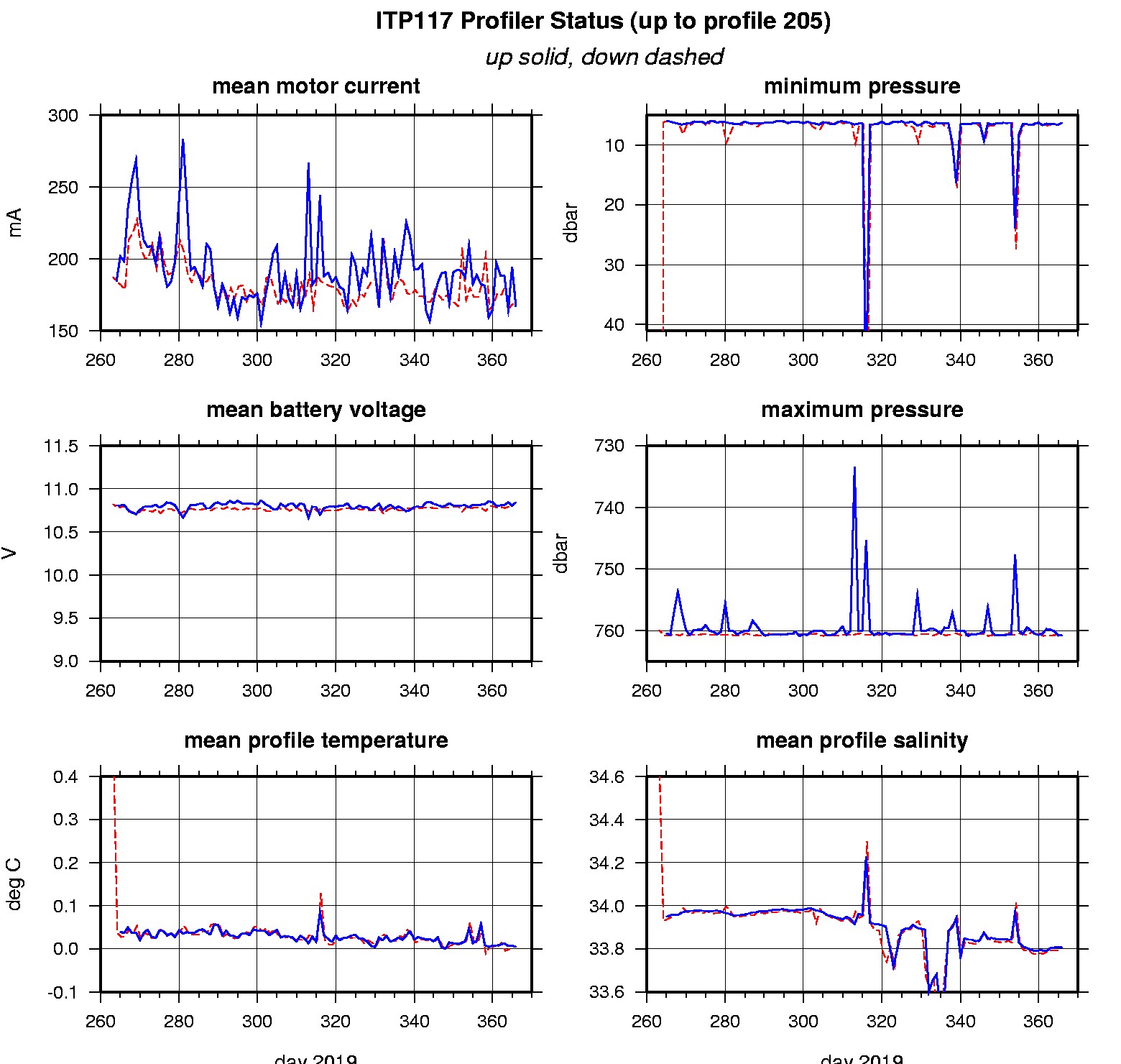
Last buoy status on 2020/9/30 230022 UTC : temperature = -0.375 °C, battery = 10.9 V Last position on 2020/9/30 230022 UTC : 71.2892° N, 140.2218° W Last profile (number 205) on 2020/1/1 2 UTC Last profile mean motor current = 166.6478 mA, mean battery = 10.8425 V Last profile depth: minimum = 6.2851, maximum = 760.7147 m Last profile temperature: minimum = -1.5089, maximum = 0.78075 °C Last profile salinity: minimum = 27.6489, maximum = 34.8586 Last SAMI pCO2 sample (number 13702) on 2020/9/30 221507 UTC Last pCO2 = 306.2808 μatm Last SAMI ODO sample (number 13703) on 2020/9/30 221520 UTC Last uncorrected Dissolved Oxygen = 436.2183 μmol/kg Last SAMI PAR sample (number 13704) on 2020/9/30 221527 UTC Last PAR = 829.4023 μmol/s/m^2 The raw GPS buoy location data are available in an ASCII file: itp117rawlocs.dat Depth averaged profiler data files (with interpolated location) and time series SAMI data are available in two formats: ITP117 was deployed on a 1.35 m ice floe in the Beaufort Sea on September 19, 2019 at 80° 55.0 N, 135° 31.9 W as part of the Beaufort Gyre Observing System (BGOS) during the JOIS 2019 cruise on the CCGS Louis S. St. Laurent. On the same icefloe, a prototype Tethered Ocean Profiler (TOP), and a US Army Cold Regions Research and Engineering Laboratory (CRREL) Seasonal Ice Mass Balance Buoy 3 was also installed. The ITP is operating on a standard sampling schedule of 2 one-way profiles between 7 and 760 m depth each day and includes a fixed SAMI PCO2 with ODO and PAR at 5 m depth.
|