Data from ITP134
Last surface buoy status
| Time (UTC) |
2026-11-15 11:30:47 |
| Latitude |
74.88889 |
| Longitude |
-146.05992 |
| temperature (deg C) |
-20.6250 |
| battery voltage |
10.551 |
Last profile statistics
| Last profile number |
324 |
| Profile Time (UTC) |
2026-11-15 11:00:05 |
| mean motor current (mA) |
183.020 |
| mean battery voltage |
10.820 |
| minimum pressure (dbar) |
21.360 |
| maximum pressure (dbar) |
248.950 |
| minimum temperature (C) |
-1.448 |
| maximum temperature (C) |
0.779 |
| minimum salinity (PSU) |
26.778 |
| maximum salinity (PSU) |
33.613 |
| minimum oxygen (μmol/kg) |
N/A |
| maximum oxygen (μmol/kg) |
N/A |

Description
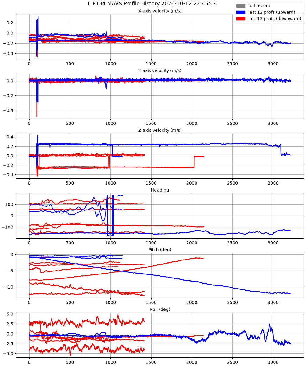
ITPV 134 was deployed on 11 October 2026 18:49 UTC, in open water, at 74° 51.05’ N, 146° 28.90’ W, as part of the BGOS/JOIS 2026 expedition aboard the CCGS Louis S. Saint-Laurent. The platform includes a Nobska MAVS current meter, and a SeaBird MicroCAT CTD sensor clamped to the profiler wire at a depth of approximately 4 meters.
| Temperature Contour Plot |
Salinity Contour Plot |
Profile History Plot |
 |
 |
 |
| Buoy Status |
Profiler Status |
Mean Profile Temperature-Salinity |
 |
 |
 |
| MAVS Profile History |
 |